Ulifushi · The island atlas
An island to discover.
From the western shore to the eastern residences, discover the places that shape the village. Follow a number into its gardens, courtyards and quieter moments.
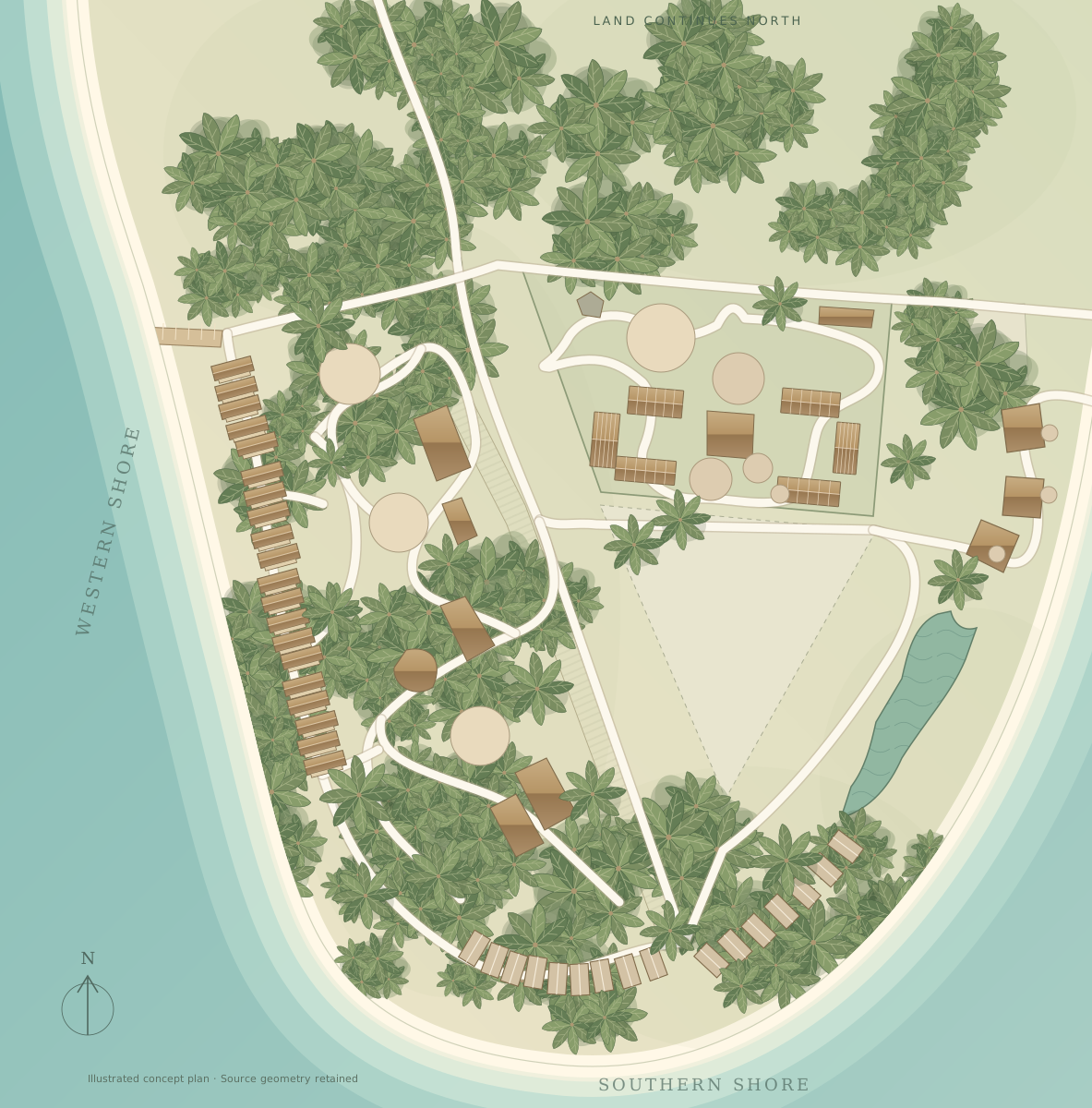
An illustrated southern project plan. Zoom in for the finer details.
Dwellings
1 / 12The western beach villas
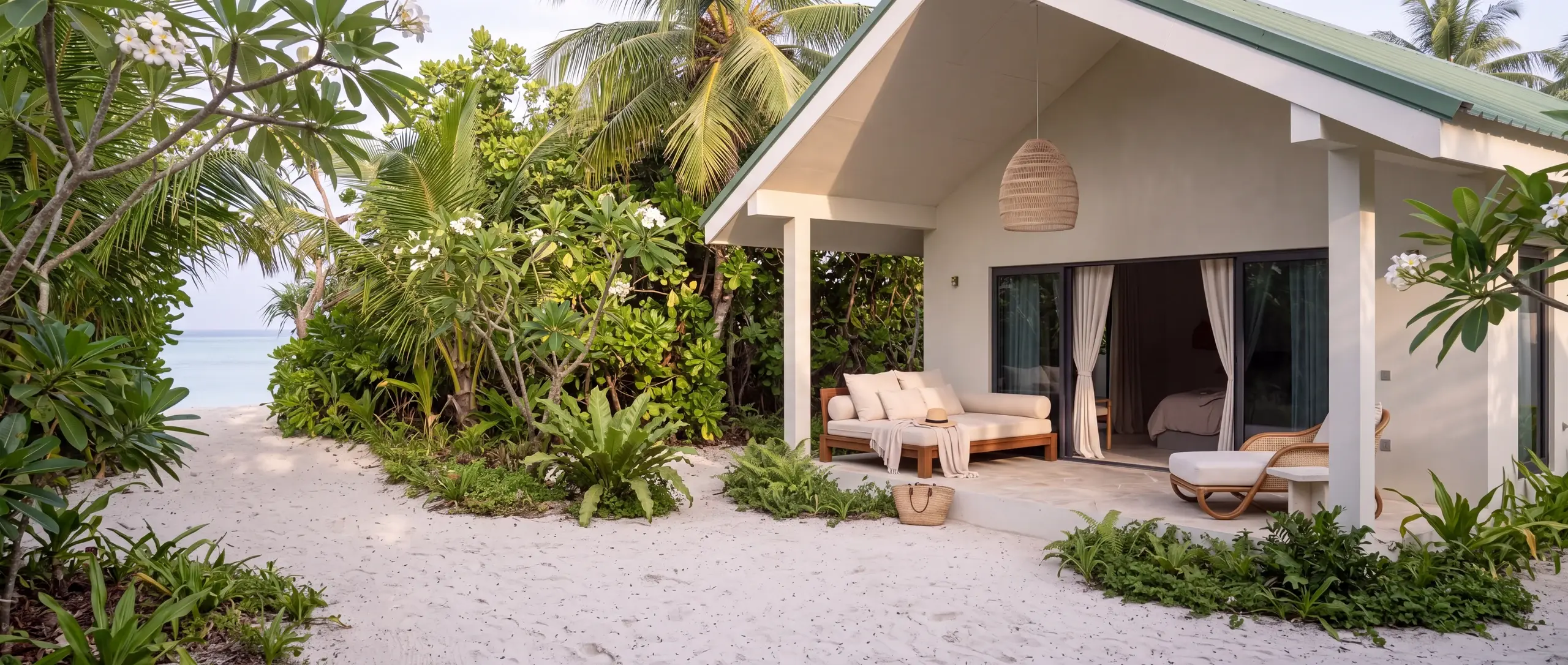
A morning beside the beach
Along the western shore, the villas open towards sand, sea and a slower morning. Explore the Athirige interiors, garden studies and an intimate view from palm shade.
Discover AthirigeWestern villa band · Published masterplan. Images show proposed design and styling; the beach scene evokes western-shore atmosphere, not a measured site viewpoint.
01. The western beach villas. Image 1 of 5: A morning beside the beach.
Find your place.
The complete village index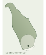
Schematic context
The wider island
A village at the southern end.
The atlas follows the southern project area. Beyond it, Uligan continues north. This locator places the proposed village within the wider island.
Locate UliganA sense of place, rather than a surveyed boundary. Explore the village plan above for the numbered project areas.
Source-led concept plan · In development. Geometry follows the published masterplan; the whole-island locator is schematic. Planting and water shading are illustrative. AI visualisations show proposed designs or imagined atmosphere. This is not a surveyed map or a guide to confirmed facilities, depths, distances or walking routes.